Engineering & Architecture
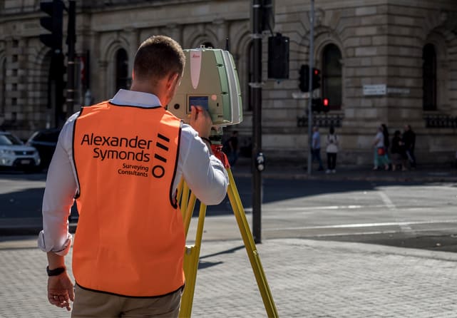
Alexander Symonds offers a range of specialist surveying services for architecture, construction and engineering projects across the public and private sectors.


Alexander Symonds offers a range of specialist surveying services for architecture, construction and engineering projects across the public and private sectors.
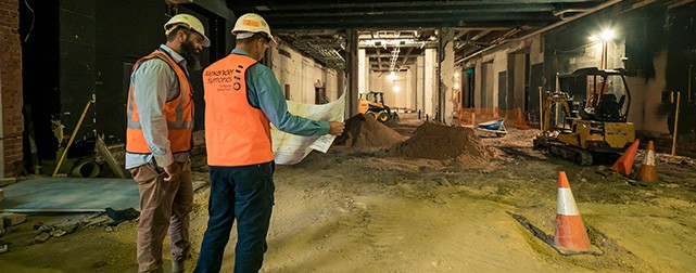
With over 85 years of experience, we understand the challenges that come with both small and large-scale engineering and architecture projects. Our qualified surveyors are involved in engineering and architecture projects from start to finish, providing expert advice and tailored solutions for both residential and commercial projects Australia-wide with timeliness and efficiency.
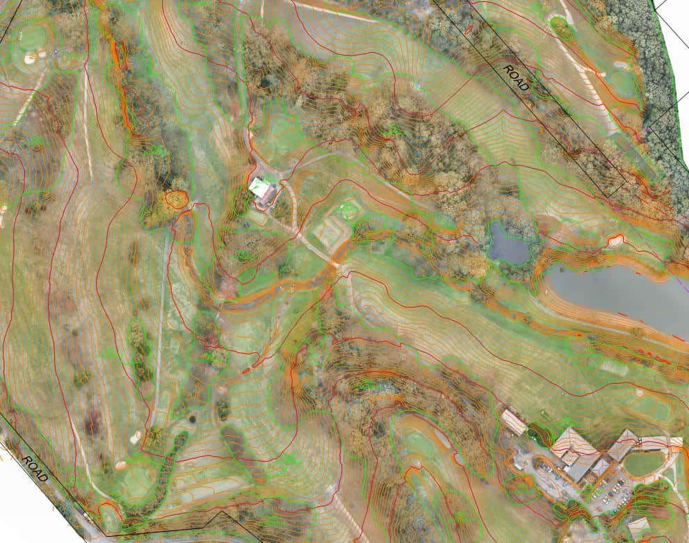
We are experts in topographic, boundary, contour and feature surveys, mapping the intricacies of your land to help you design the right building for the site. Existing site structures, surroundings, transport corridors and services are accurately mapped and recorded, helping you to meet your contractual obligations and document the build location. Our team of qualified surveyors are specialists in due diligence and high-precision surveys for a range of applications at each stage of your project.
When you engage Alexander Symonds for your engineering or architecture project, a qualified surveyor will work with you through the entire process. We provide surveys especially for civil construction and building projects from initial set-out to as-constructed (or as-built) and volume surveys to document the built asset location and help you meet your contractual and due-diligence obligations. Our survey applications can range from domestic buildings, constructing a road through to large windfarm project.
Volume, monitoring and deformation surveys are performed for a variety of construction and engineering applications. Volume surveys are used to control and certify the volume of materials that are being moved in or out of sites for accounting purposes. Monitoring and deformation surveys can be undertaken for a wide range of purposes, including monitoring buildings adjacent to excavations, road slippages, dam structures, bridges, tanks, processing plants and monitoring of infrastructure where movement may be suspected.

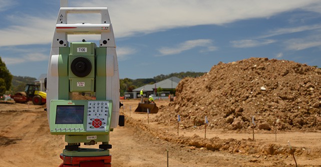
We provide specialist mechanical and high-precision surveys throughout Australia, using a range of technologically advanced equipment and cutting-edge software. Our people are equipped with the skills necessary to prepare and undertake precision monitoring surveys, industrial alignment surveys, measurement certification and surveys for fabrication, providing the accuracy and capability needed for specialist applications.
We have over 15 years extensive experience in using laser scanning for all applications to allow for cataloguing existing conditions of buildings for renovations and extensions, plant processing sites, as well as capturing difficult to reach locations, concept planning and heritage preservation.
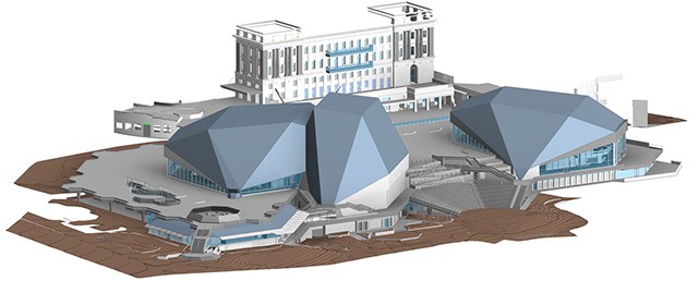
We also can arrange to deliver our high-quality, accurate 3D modelling service. Our solutions are tailored to your project needs and can include 3D CAD and Revit modelling, BIM building modelling, high-accuracy surface modelling and as-constructed 3D deformation modelling records.
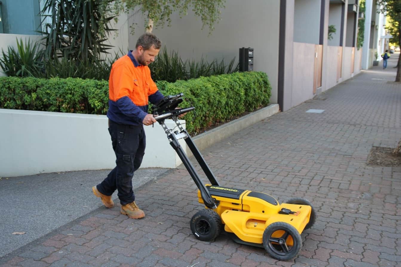
We know that knowledge, accuracy and reliability matter. Being able to pinpoint the utilities and services beneath your site reduces risk, reduces delays and allows for excellent planning for your project. Pinpoint Service Mapping, powered by Alexander Symonds, uses non-invasive techniques to locate and spatially map underground services at any stage of a project.
More on underground service mapping
Take a top down view of your project for concept planning, inspections, and progress reporting. We have invested heavily in our people and cutting-edge technology to enable us to undertake a range of aerial mapping, surveys, point clouds and inspections to capture your project safely and efficiently. As surveyors, we can validate the accuracy of our aerial surveys, and integrate with your existing project models.
GIS can add immense value to engineering and architectural projects. GIS is not only an effective tool for Building Information Management (BIM) but provides additional functionality for assessment and visualisation of spatial information for modern design principles such as line of sight analysis, slope analysis, shadow analysis. The power of 3D visualisation becomes accessible through cloud based online GIS platforms.
You can rely on our proven track record and internationally-certified solutions to get you the best results.
No client or project is ever the same, so we make sure each solution is tailored to your project needs. Our team of licensed surveyors have the detailed knowledge and expertise to understand the unique challenges of your engineering or architecture project, no matter the size or complexity.
Keep your project on track with our innovative and accurate surveying and consulting services
Contact our expert team at Alexander Symonds for a free quote.
Request a free quote