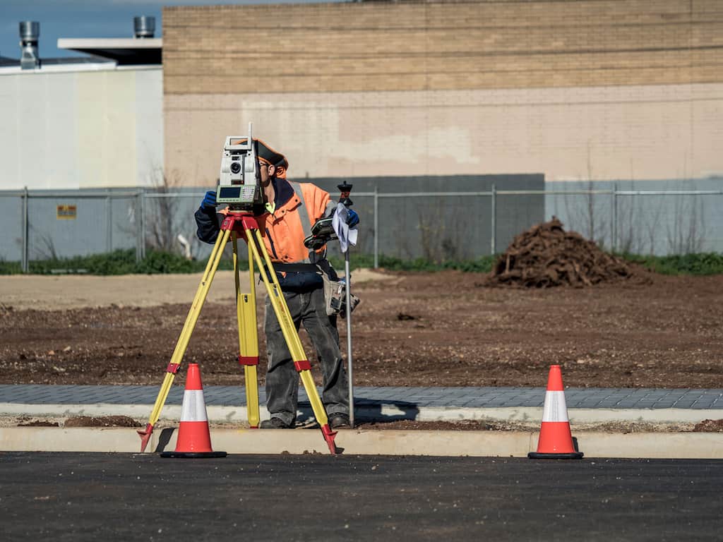
At Alexander Symonds, our expert team of licensed surveyors strive to provide confidence, peace of mind and, above all, accurate information about your land.
When our team of licensed surveyors complete an identification survey, they will notify you of any potential risks of differences between the survey and your Certificate of Title through a small disclaimer on your identification certificate. This disclaimer is created to help you understand your property boundaries and minimise the risk of future disputes.
Understand the disclaimer on your identification certificate
Our survey of your land may differ from the Certificate of Title held in the Lands Title Office (LTO). When this occurs, the discrepancies may have an effect on the placement of physical features on the property, including fencing, sheds or driveways, and could lead to conflicts and litigation in the future.
If we complete an identification survey on your property and identify discrepancies between the records at the LTO and our measurements, we will place a disclaimer note on your Identification Certificate.
“This boundary definition displays discrepancies with title data and is based upon professional opinion. As such, this could be challenged at some time in the future. Consideration should be given to the registration of this boundary definition in the Lands Titles Office via lodgement of a certified survey to enhance the security of this definition.”
Certificate of Title dimensions can differ from the identification survey findings
Licensed surveyors use evidence such as previous survey plans, the certificate of title, survey marks, as well as old fences and walls to determine the position and dimensions of boundaries on a property.
In some older suburbs or areas of South Australia, the original land surveys were done a long time ago when the survey tools weren’t as accurate as they are today. Sometimes, land divisions were done without even having a survey completed! These two factors, as well as a general lack of recent survey data, leads to uncertainty in the placement of boundaries and, inevitably, the Certificate of Title.
In most cases, there are no uncertainties or discrepancies between what is lodged in the Lands Title Office and what we discover. In the event that we do identify discrepancies between your Certificate of Title and our identification survey data, there are actions you can take to provide peace of mind for the future of your land.

Ensure the Certificate of Title remains up to date
Alexander Symonds and its licenced surveyors are bound by the Survey Act 1992 and the Surveyors Board of SA to provide accuracy, certainty and public confidence in the surveying profession. The Surveyors Board of SA has also approved a Code of Practice for Licensed Surveyors, which sets parameters for when identification surveys are required to be lodged at the Lands Title Office.
In South Australia, when you purchase land you are guaranteed title – ownership of the land – but you are not guaranteed of the dimensions it may bear. This is why it’s essential to ensure all records in the Lands Title Office are as up to date and accurate as possible, especially for future surveyors and land owners. You can help to keep the LTO records up to date by lodging any discrepancies with the LTO. Depending on your circumstances, you may need to lodge a Plan for Information Purpose (PFIP) or a Redefinition Purposes Plan (certified).
- Plan for Information Purposes (PFIP) – A certified survey from a Licensed Surveyor that is lodged with the Lands Title Office. The plan is neither examined nor approved by the Lands Title Office. This plan is based on professional opinion and therefore provides only some protection if a dispute were to arise.
- Redefinition Purposes Plan (RFP) – A certified survey from a Licensed Surveyor that is lodged, examined and approved by the Lands Title Office, and becomes the first point of reference for any data about your land. This provides the most protection in the case of a dispute.
When it comes to your land, you need certainty, confidence and accuracy.
At Alexander Symonds, we pride ourselves on providing each and every one of our clients with accurate, up to date data on their land. In the event of any discrepancies between our survey and your Certificate of Title, we will work with you to ensure you understand your property boundaries and identify where any discrepancies may exist.
Boundaries that are inaccurately measured can lead to encroachment disputes in the future, including the placement of trees, fences, driveways and other structures. Lodging an RFP or PFIP with the Lands Title Office is a valuable step you can take to remove uncertainty and provide peace of mind for years to come.
Contact our team of licensed surveyors today for expert advice on your land.
Contact us


